Adams Designates Areas Along Route 8 As Blighted
ADAMS, Mass. — A section of Route 8 has been designated a "blighted" area so the town can target Community Development Block Program funds toward redevelopment.
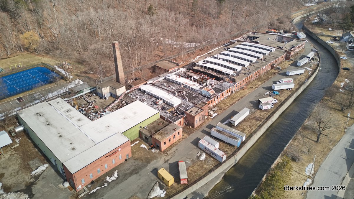
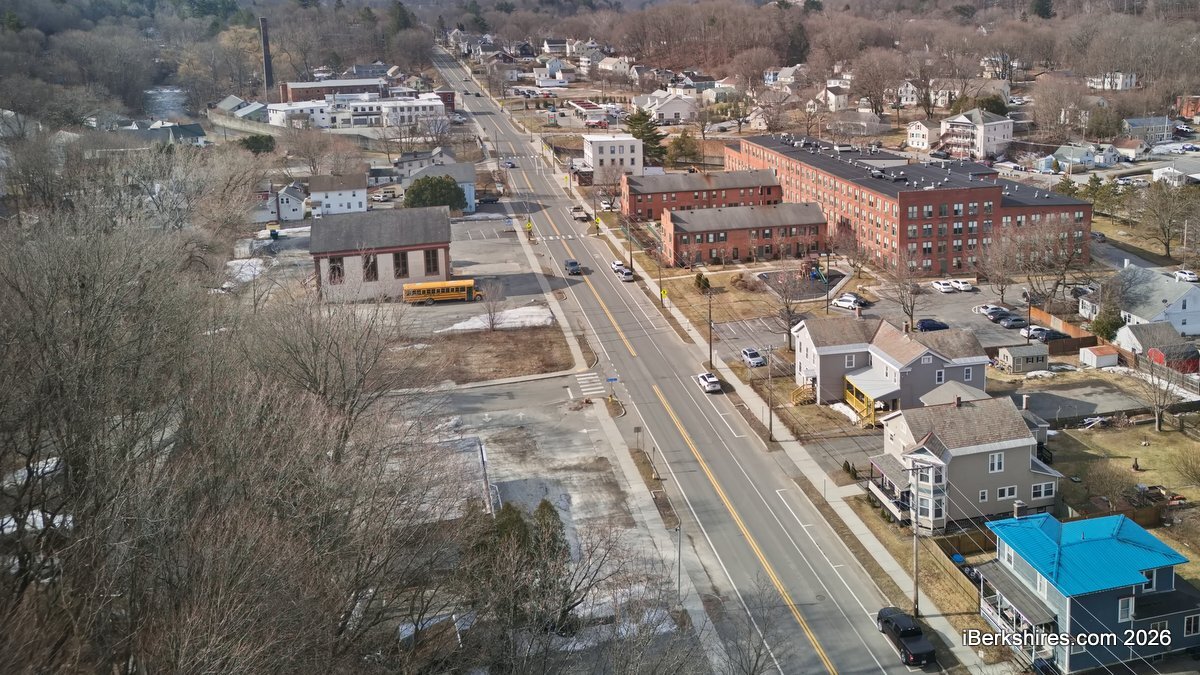
According to a slum and blight report by Berkshire Regional Planning Commission, the target area is located along the Hoosic River in the "northern and southern gateways to
downtown and the Summer Street area."
"We're wanting to focus this on the Route 8 corridor within the town center, although progress has been made towards eliminating blight conditions, the area still has the greatest concentration of the oldest and most deteriorated buildings in the town," Community Development Director Donna Cesan told the Select Board recently in requesting a vote on the designation.
This will help define how the program's future funding will be directed within Adams for projects that meet the national objectives of eliminating slum and blighted conditions, in addition to providing assistance to people with low and moderate income, she said.
CDBG is a federally funded competitive grant program administered by the state. It can be used for activities that address blight, housing, beautification, demolition and economic development.
"This criteria requires that at least 25 percent of the structures within a proposed target area be determined to be fair for poor condition to be eligible for designation as a blighted area," Cesan said.
According to the report, 26.5 percent of the existing primary buildings in the area are physically deteriorated and include high vacancy, suspected contamination, abandoned properties, and decline in property value. The overall percentage of properties contributing to slum and blight is 32.1 percent.
The public infrastructure throughout the area, including sidewalks and road surfaces, is also "in a general state of deterioration."
According to the resolution, about 28.6 percent of the existing sidewalks and 31.6 percent of existing streets are rated in fair or poor condition.
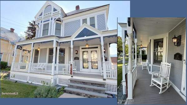
A majority of the buildings in the target area of Grove, Commercial, Columbia, and Summer Streets, were constructed in the mid-late 1800s, with 187 properties considered historic, the report says.
At the time of construction the area had thriving mill industries. However, since then, the mills have closed, and many of the buildings and public improvements have fallen into disrepair.
In 2014, the board approved a target area that reflected the town's settlement pattern along the Hoosic River, which is the location of many of the oldest structures within the community, Cesan said.
That target area was approved by the state Community Development for a 10-year period that has since expired, she said.
During that period most of the CDGB-funded projects have been located within the target area and include improvements to Russell Field, the development of Hoosac Valley Coal and Grain park, infrastructure improvements to the Visitor Center parking lot, and improvements to Albert, Cook, Pleasant Streets.
Tags: blight, CDBG,