Pittsfield ConCom Mulls Pontoosuc Access Plan
PITTSFIELD, Mass. — Conversation about balancing bank stabilization with shoreline access at Pontoosuc Lake Park continues.
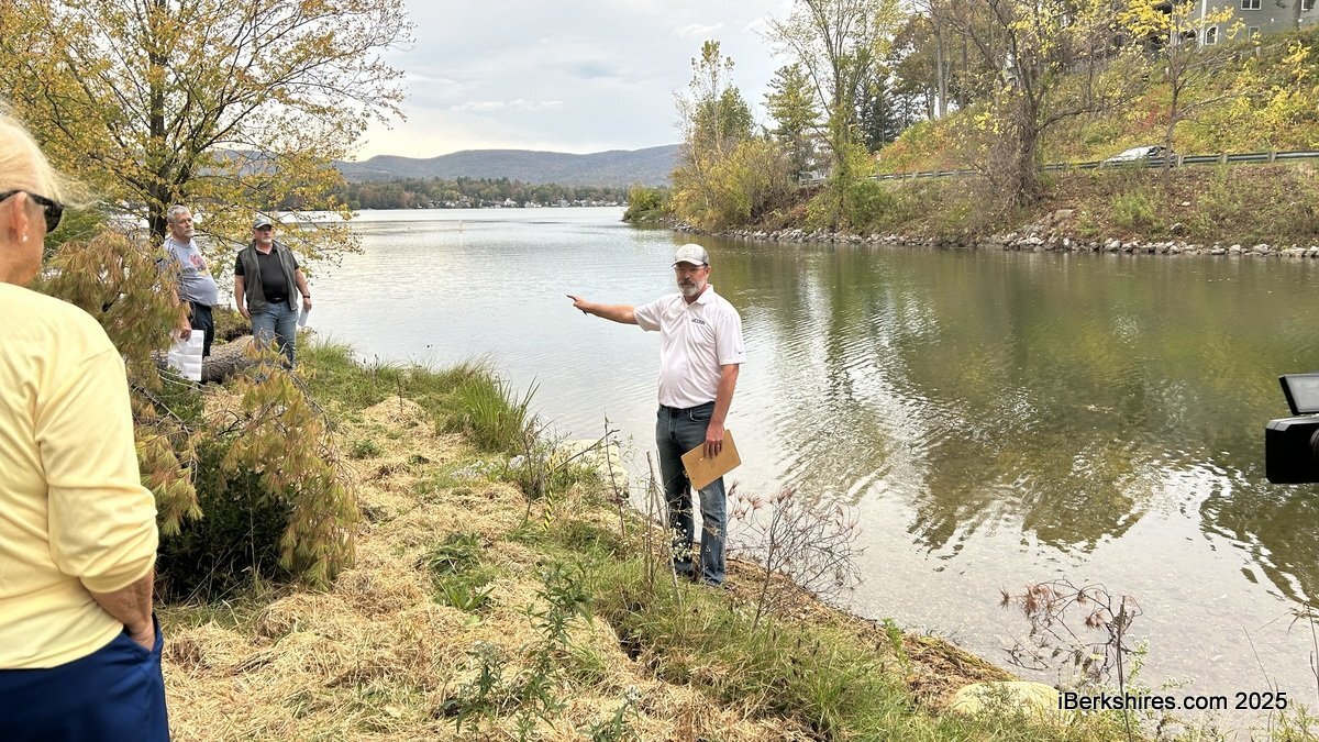
On Tuesday, the Conservation Commission has a site visit to the south shoreline, where community members asserted that bank plantings limited access for fishing and swimming. Last month, the Parks Commission endorsed a plan for four easy-entrance points, and the ConCom will consider modifying the project’s wetland permit.
"The issue is availability for fishermen on the shore, and that component was not brought up during the original application, so now we're here to see the proposed locations, and try to better understand what is needed, and if this works with the Wetlands Protection Act," Chair James Conant explained.
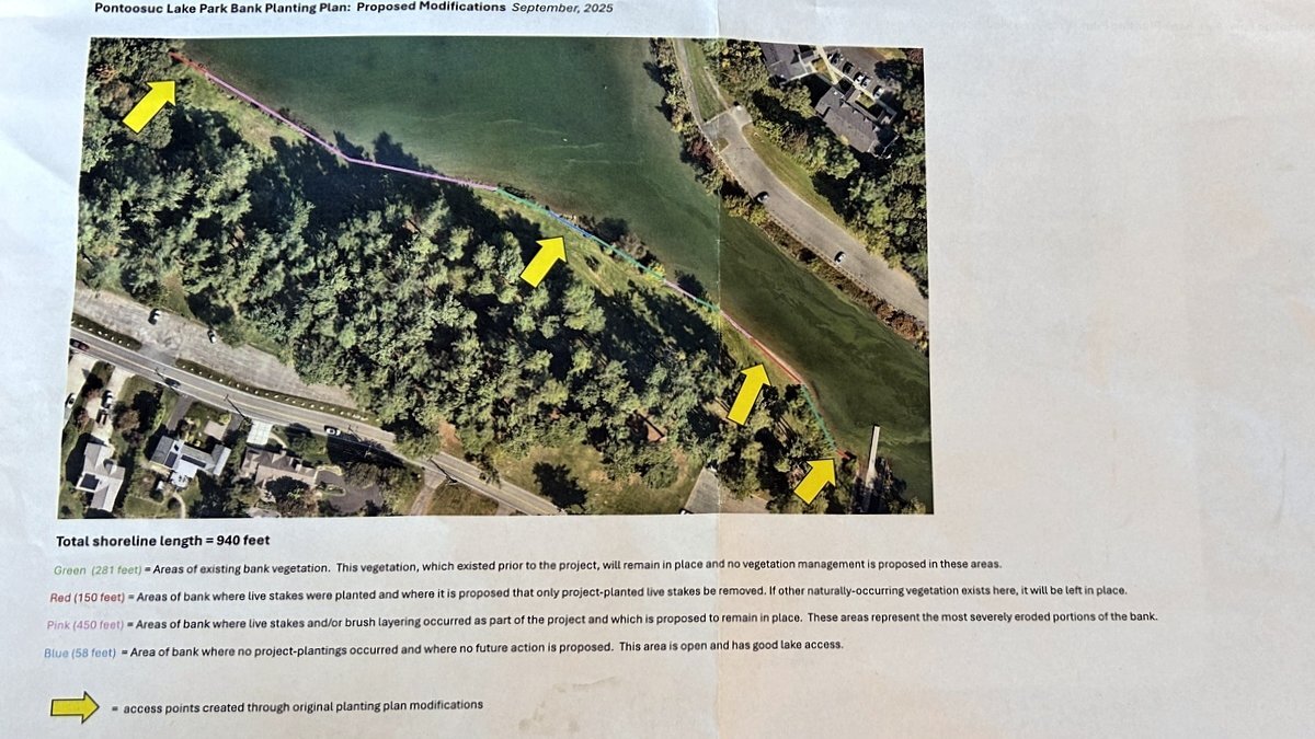
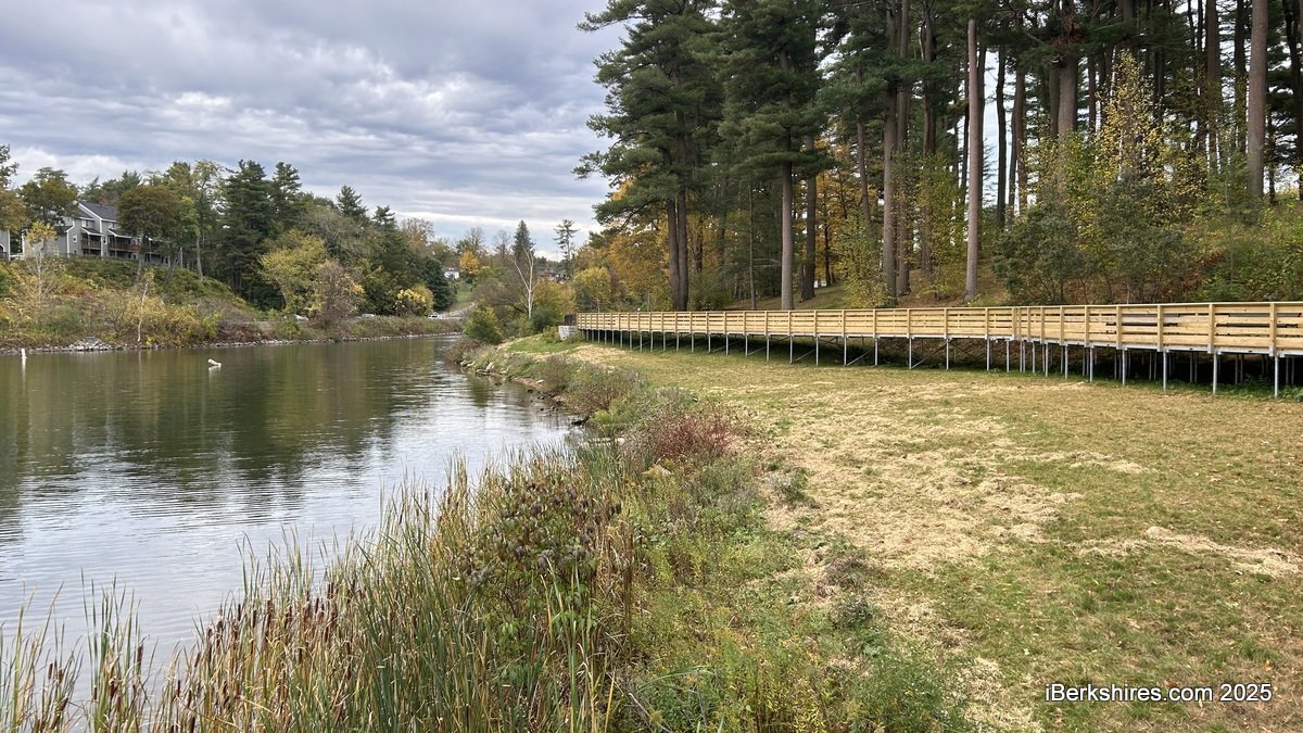
The plan proposes 150 feet of live stake planting removal on the 940-foot stretch of shoreline. The Pontoosuc Lake Park revitalization project also included an accessible boardwalk, new stairs, and parking lot repairs.
Parks, Open Space, and Natural Resources Manager James McGrath explained that part of the larger project, which has been advertised since 2021, was to stabilize unstable bank locations with vegetation.
"We were seeing some sources of erosion. We were losing vegetation along the bank. So as part of this larger project, it was proposed to plant live stakes over much of the extent of the 950 feet of the bank, from the boat ramp to the western edge of the park area," he said.
"That activity happened, the live stakes were planted as part of an amended order of conditions that was issued by your Conservation Commission, and all the plants went in. And then there was some conversation among certain community members that we were too aggressive with our bank planting, and that the bank planting was going to limit access across the bank for fishing opportunities."
Attendees were provided a color-coded map that details the four easy access points, some existing, and surveyed the conditions of the nearly 1,000 feet of bank. Live stakes were removed by the public in areas adjacent to the boat ramp, and are proposed to remain open.
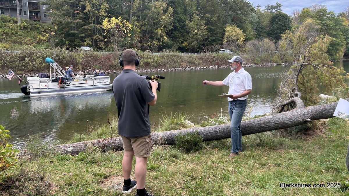
"There was pretty heavy planting of live stakes in this area. This was an area that was also vandalized," McGrath said, standing in one of the spots.
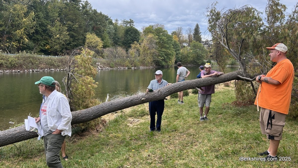
A few feet down, live stakes are proposed to remain due to bank instability. McGrath pointed to a downed white pine that fell over the summer, explaining, "The reason that this tree fell from its location is because the bank is unstable. The reason the bank is unstable is because there's not much vegetation or appropriate vegetation to keep the bank intact. The bank is unstable. The tree fell."
Conant clarified that the commission is not there to engage in back and forth with the public.
"The commission is here to see the site by themselves so we can determine whether opening spaces up it's going to create erosion that continues to collapse the bank and impact the quality of the water in the lake and the surrounding area," he said.
A resident became combative, and Conant insisted that concerns be brought to the next regular Conservation Commission meeting on October 23, explaining that this is a site visit.
"It is terribly unstable. It is terribly undercut by the water and the wave action. Again, there were live stakes put here. It is proposed that these remain," McGrath said about halfway down the shoreline.
"This is a critical bank. I worry about the future of this bank if it's not armored in such a way."
Further down, where live stakes and brush layers are proposed to remain, he highlighted the shoreline's crescent moon shape, reporting that it was a straight shoreline 25 years ago when he began working for the city.
"Why does it have that configuration? It's because all of that land has been eroded and washed into the lake from wave action, from wind, from boats coming too close, probably also because the Parks Department was mowing too close to the edge, so cultural practices with management," McGrath said.
"I note all that, because that's how we got into the situation. I'm not making any judgments about how we got here. The only thing I'm making a judgment on is, what do we do from this point forward? What is the most ecologically sensitive management practice that we could do in this area? That is to armor what's left, so we don't see further erosion."
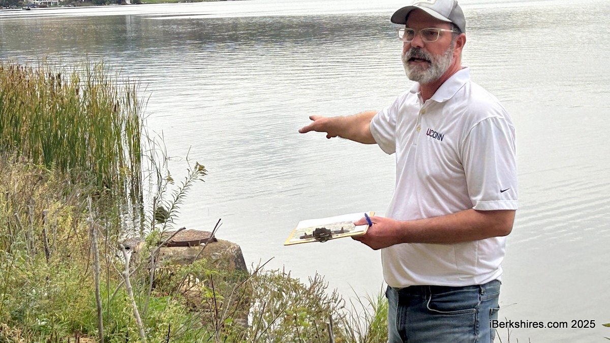
Attendees later saw a city sewer manhole that is now surrounded by water, which has eroded four to five feet in the last quarter century.
Commissioner Jonathan Lothrop explained that the panel works to ensure water clarity and stability "as much as we humanly possibly can," and asked if there will be replacement measures where live stakes are removed.
While the Parks Commission was just charged with creating more access points, other necessary management practices could be considered.
"My whole goal here is to make certain that we're addressing the needs of the bank, that we're creating some level of public access, and that we're doing it for the long term," McGrath said.
Over the winter, the city plans to develop educational signage for people visiting the park.
Tags: conservation commission, fishing, Pontoosuc,