
Pittsfield Looks to Improve Access at Pontoosuc Lake Shoreline
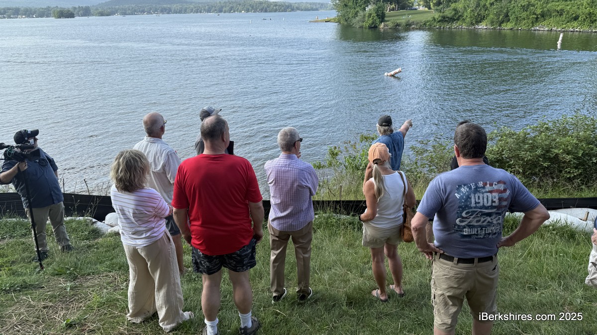
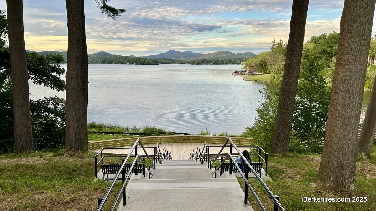
PITTSFIELD, Mass.— The city plans to create water access points on the south shore of Pontoosuc Lake Park.
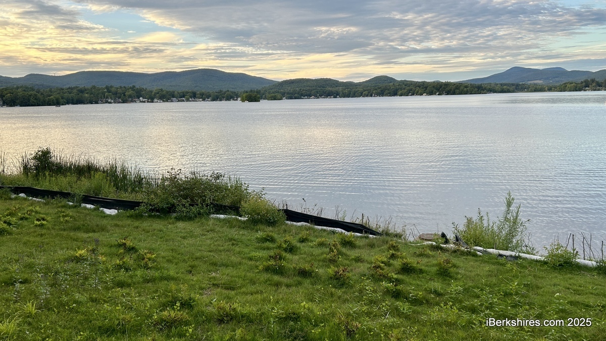
This comes after community members asserted that bank plantings limited access for swimming and fishing. Because the area is shared with boats, the north side of the park is staged for a formal swimming area with a beach.
"I think people just need to allow us a little bit of time and afford us a little bit of patience, and we'll get this right," Parks, Open Space, and Natural Resources Manager James McGrath told the Parks Commission on Tuesday.
He proposed opening up 24 percent of the south shoreline, though it was continued to the next meeting because technical issues prevented the plans from being displayed. More than 1,000 shrubs were planted for bank stabilization as part of a parkwide renovation project that was years in the making.
"It's either currently open and there was no treatment in that area, or we're proposing that live stakes be removed so that full extent of Pontoosuc Lake shoreline, 24 percent will be open and accessible for fishing, for swimming, or otherwise," McGrath said.
Several residents attended a site visit to Pontoosuc Lake Park in July that turned combative at times as they passionately voiced their discontent. The Parks Commission then voted to recommend to the Conservation Commission that it consider modifying the current vegetation plan to create additional public access points to the water.
Commissioner Anthony DeMartino said they looked "very mindfully" for water access points that made sense.
"I want to be clear that the park project on this side, on the south, has really two facets to it. One was at the public beach that was there was really no longer present or viable. It had become a wetland, and the purpose was to restore some access to the area, but a larger part of this is the bank conservation through the Conservation Commission," he said, adding that the site visit showed that a stormwater drain that used to be in the park is now underwater.
He said nearly 250 feet is proposed to be opened up between the almost 1,000 feet of shoreline from the boat ramp to beyond the new boardwalk.
McGrath noted that access points will look like they did previously and cautioned against swimming in the channel shared with boats.
"If people want to swim there, the city is not saying 'no,' although I do take exception to folks feeling like they can swim in the channel. That is the most unsafe of situations," he said.
"So to the extent that this commission and the Parks Department discourage swimming in the channel, that's what we're trying to do. The channel is very busy, and it's dangerous for swimming. That's why this whole plan was predicated on creating a new swimming opportunity on the north side. It may not be convenient for some, but we're trying to separate uses within the park and create a safer park which is much more handicap accessible."
Of the approximately 915-foot shoreline, 52 percent has been deemed excessively eroding and needing the bank plantings, 24 percent is existing vegetation, and the rest will be opened up.
"The reason we're seeing erosion and bank undercutting is because there was a prior lack of vegetation, and that's why the plan was installed, to create additional bank armoring using the live stake native planting technique," McGrath explained.
"So there are some areas where we would not propose to remove any of the existing vegetation that was put in as part of this plan."
Nearby residents Mary and John Dickson said people continue to use the south side for swimming, and safe access has been hindered by the plantings.
John Dickson said he was glad to see the commission addressing it.
"I do see people over there. It's nice to see people over there making use of it as was intended, looking at the view, having a cup of coffee, but I also see people who want to swim, and are swimming regardless," he said.
Tags: Pontoosuc, public parks,